On May 28, 2024, the Bureau of Land Management held a meeting over Zoom to inform the public of preliminary travel management alternatives in the Henry Mountains and Fremont Gorge. The purpose of the travel management plan is to designate a system of routes for off-highway vehicle use.
The meeting was mostly informative, and it was not meant to be an opportunity for public comment.
Basically, the current TMP was created in 2008 and is in need of an update. The 2,286 miles of routes, including state routes, will be designated under three categories: OHV-open, OHV-limited and OHV-closed. The agency defined OHV as “any motorized vehicle in use by the public.”
BLM will pattern each alternative with a different goal in mind.
Alternative A will outline the current designations with no changes. Currently there are 146 undesignated but well-established routes. Alternative B will focus on resource protection; alternative C, multiple use; and alternative D, access.
Environmental groups were strong critics of the 2008 TMP, saying it did not put enough emphasis on preserving archaeological sites. In the current plan, routes could be closed if archaeological experts deem that their being open causes damage to sites.
In addition, just a few routes could be closed to protect local Mexican spotted owls, southwestern willow flycatchers and yellow-billed cuckoos. Route maintenance costs are not in the criteria for closures.

Henry Mountains and Fremont Gorge TMP Schedule and Process
Throughout the summer BLM plans to develop alternatives and create a draft environmental assessment which will then be finalized around October. This is a standard BLM process, though it could take longer than scheduled.
Within that time frame, under NEPA, are two public comment periods. The first began May 10 and will go until June 10, 2024. For the first period, BLM wants to know any information that the public has that could be helpful before creating the alternatives and performing an environmental assessment.
The second comment period will be after a draft environmental assessment has been created and BLM has given its proposed alternatives. This will probably be in late August to September. At that point the public is given the chance to advocate for a certain alternative or adjustments to the preferred alternative.
A good public comment is specific, unique, and backed by evidence. Public comments on the Henry Mountains and Fremont Gorge TMP should point to a specific route identification number and maybe have photos.
BLM has been in collaboration with Wayne County, Garfield County, Capitol Reef National Park, Glen Canyon Recreation Area, Town of Hanksville, Trust Lands Administration and Public Lands Policy Coordinating Office throughout this process.
The Area
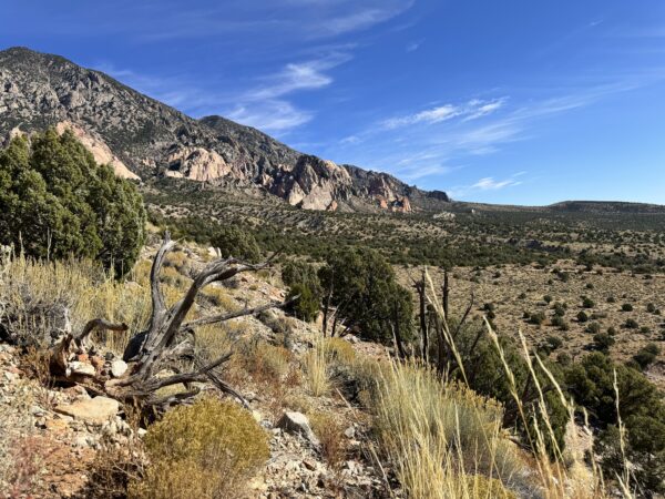
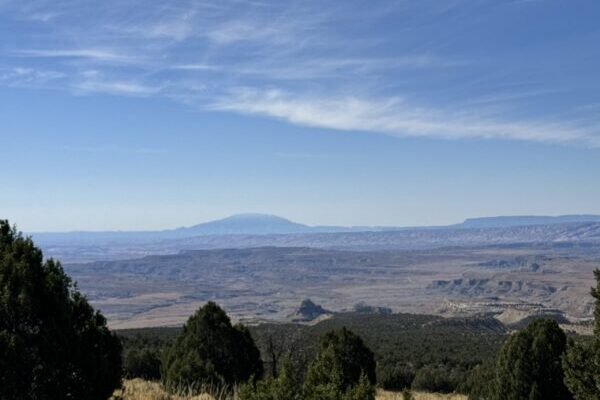
The Henry Mountains and Fremont Gorge area covers over 1.6 million acres in Wayne and Garfield counties, mostly sandwiched between Capitol Reef National Park and Glen Canyon Recreation Area. On the south end, it almost reaches as far as Kane County where Lake Powell begins, with State Routes 24, 95, and 276 running through it.
The rugged area is mostly used for off-roading, hunting, backpacking and mountain biking.
Visit BLM’s eplanning site to see documents and maps of the area or make a public comment.
Also ongoing is a comment period on the San Rafael Swell Travel Management Plan where the BLM seeks to close as much as 44% of all roads.
The TMPs being reviewed now follow on the heels of a travel management plan that closed nearly half of all the roads in the San Rafael Desert last year.
The San Rafael Desert TMP was spurred on by a settlement agreement signed by the BLM after they were sued by Southern Utah Wilderness Alliance and Wilderness Alliance over the 2020 TMP. After the 2023 San Rafael Desert TMP decision was announced, the State of Utah sued the Department of the Interior for injunctive relief in March, arguing that SUWA was merely attempting to erase roads to make way for an area it wants to designate as “Red Rock Wilderness.” That case is still pending.
– by Abbie Call
Feature image courtesy of BLM.
*Updated June 1, 2024, to add details about the San Rafael travel management plans.

Abbie Call – Cannonville/Kirksville, Missouri
Abbie Call is a journalist and editor at The Byway. She graduated in 2022 with a bachelor’s degree in editing and publishing from Brigham Young University. Her favorite topics to write about include anything local, Utah’s megadrought, and mental health and meaning in life. In her free time, she enjoys reading, hanging out with family, quilting and hiking.
Find Abbie on Threads @abbieb.call or contact her at abbiecall27@gmail.com.

