On Friday, January 17, BLM released its final travel management plan for the Henry Mountains and Fremont Gorge area in Wayne and Garfield counties. The decision was a blend of alternatives designated Alternative E.
The chosen alternative, though slightly more restrictive, is similar to Alternative C, BLM’s option prioritizing both access and conservation. It designates 1,642 miles of routes to be open all year round. Nine miles are limited by size or mode, five by season, and fourteen are limited by season for big game hunting. It designates 612 miles to be closed.
Here are those numbers in percentages:
- 72% open
- 1% limited by vehicle size and season
- 27% closed
Predictably, the Southern Utah Wilderness Alliance, which spurred reconstruction of this Henry Mountains plan with a lawsuit, was not pleased with the final product.
“We are disappointed that the BLM’s new travel plan heavily favors motorized vehicles at the expense of natural and cultural resources,” Laura Peterson, an attorney with SUWA, wrote in a statement.
SUWA did not intimate additional litigation, however, and BLM asserts that its decision would meet the provisions of the 2017 Settlement Agreement.
Garfield County officials have spoken favorably of the plan.
The Henry Mountains and Fremont Gorge area covers over 1.6 million acres in Wayne and Garfield counties, mostly sandwiched between Capitol Reef National Park and Glen Canyon Recreation Area. On the south end, it almost reaches as far as Kane County where Lake Powell begins, with State Routes 24, 95, and 276 running through it.
The rugged area is mostly used for off-roading, hunting, backpacking and mountain biking.
– The Byway
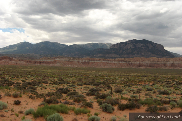
Feature image caption: The Henry Mountains as seen from State Route 95 in Garfield County.

